
We Shoot High Quality Photos for FREE!

A Complete Solution
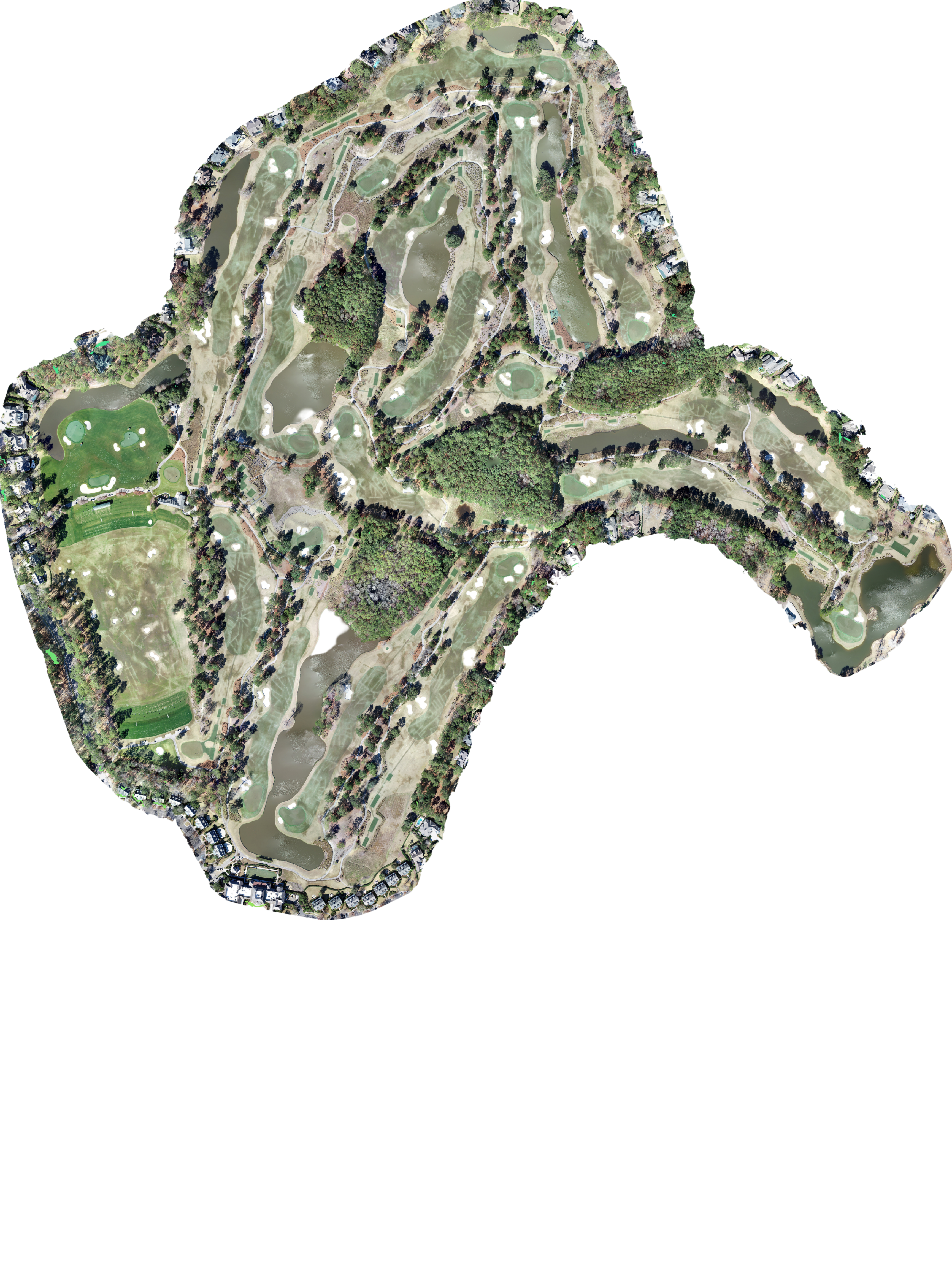
Data Processing
Drone Services
WebDev
Advertisment
Photoshop
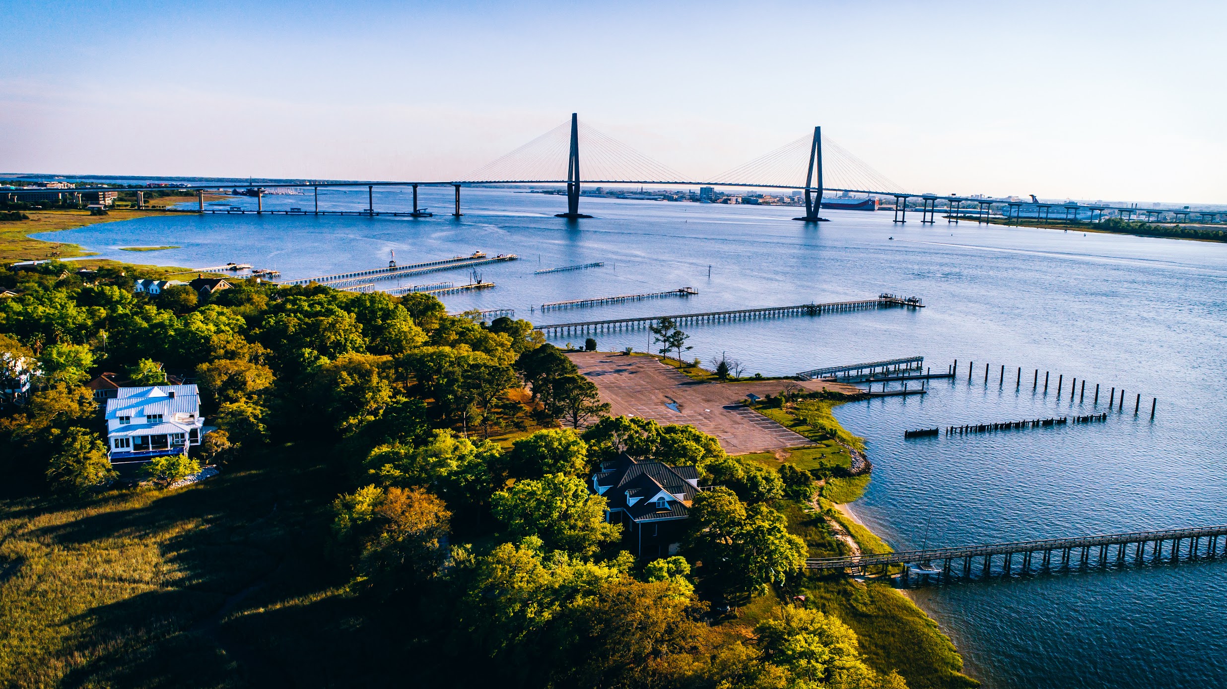
Located in Charleston SC
A Complete Solution
Data Processing
Drone Services
WebDev
Advertisment
Photoshop
Located in Charleston SC
Check our Availability
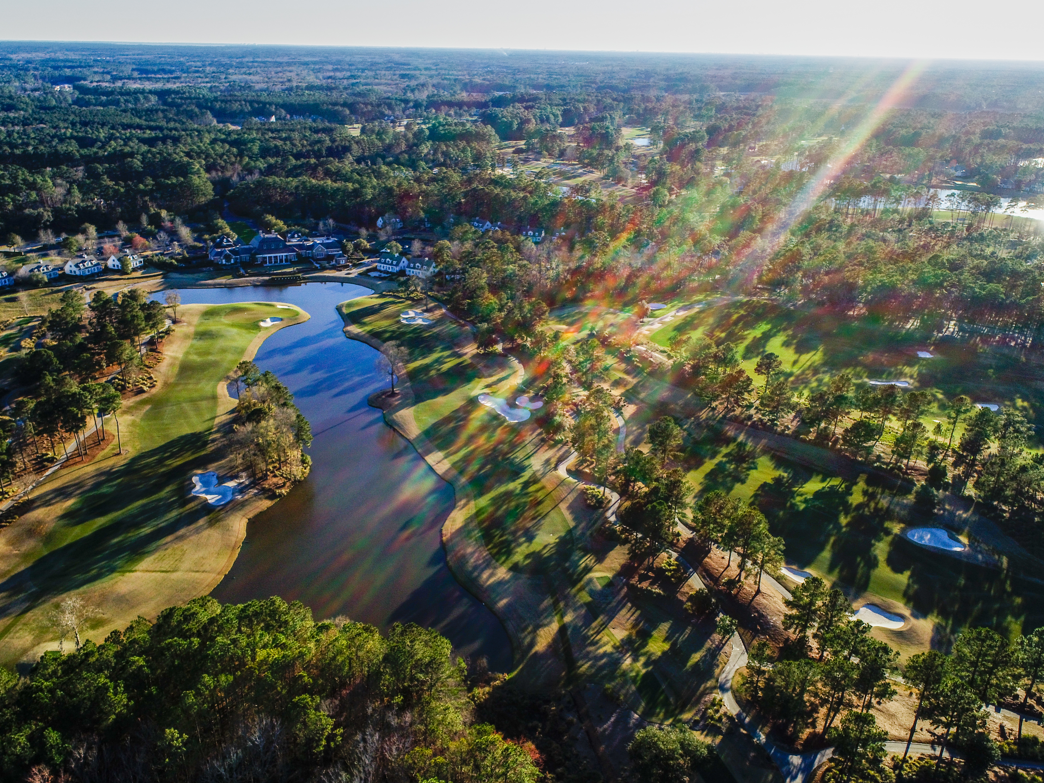
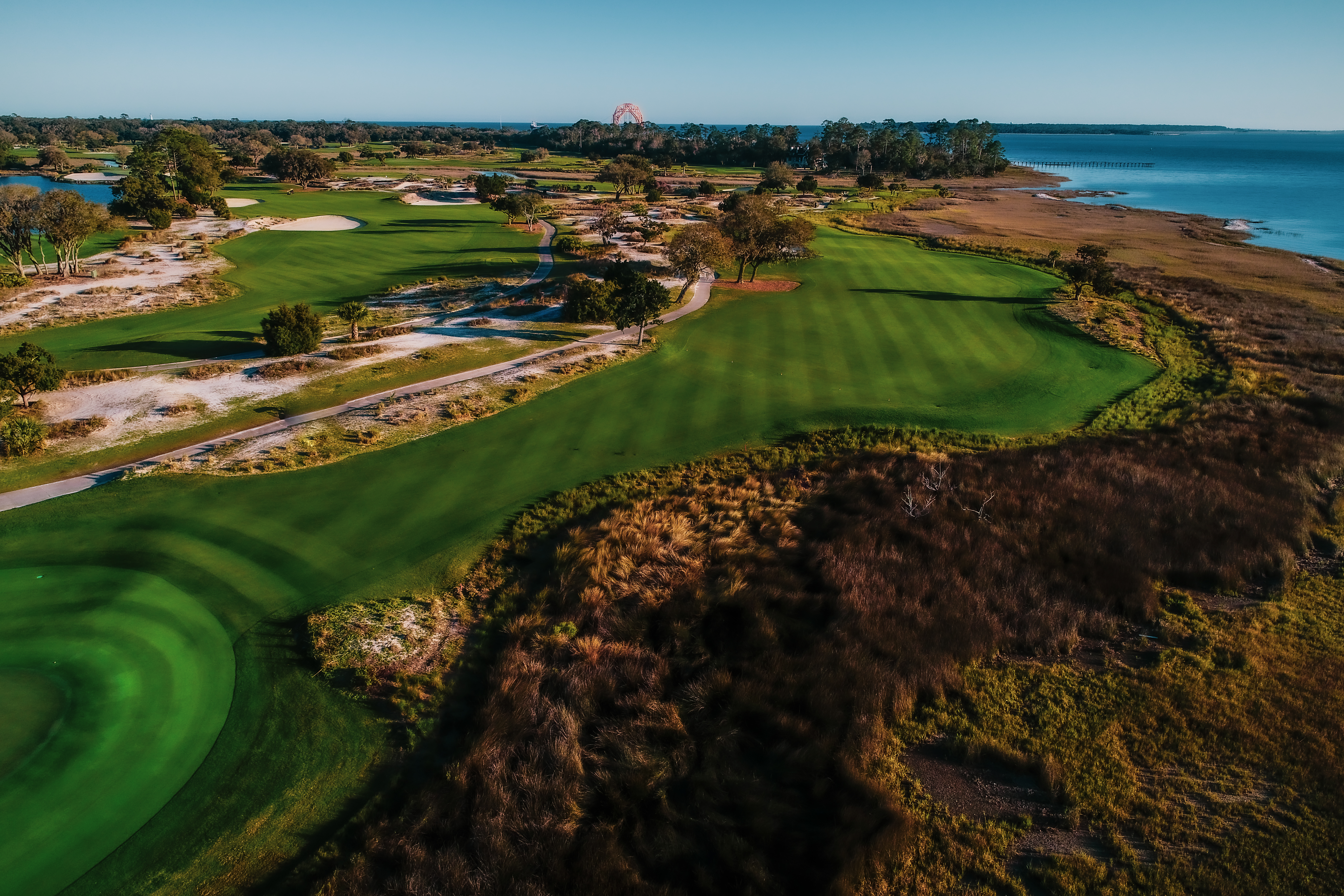
Experienced in Photogrammetry
We make maps.
We listen to your requirements and
objectives. Let us
deliver to you impressive videos, photos, and maps. We process data and make it affordable to turn
your
project,
or property into a captivating visual story. Please contact us, for more
information.
Let us Share Our valuable technical expertise
We are more than a media company
We produce valuable orthomozaic maps to share with your stake holders save time and money .pdf reports enable better-informed, real-time decisions about your most critical assets at scale.
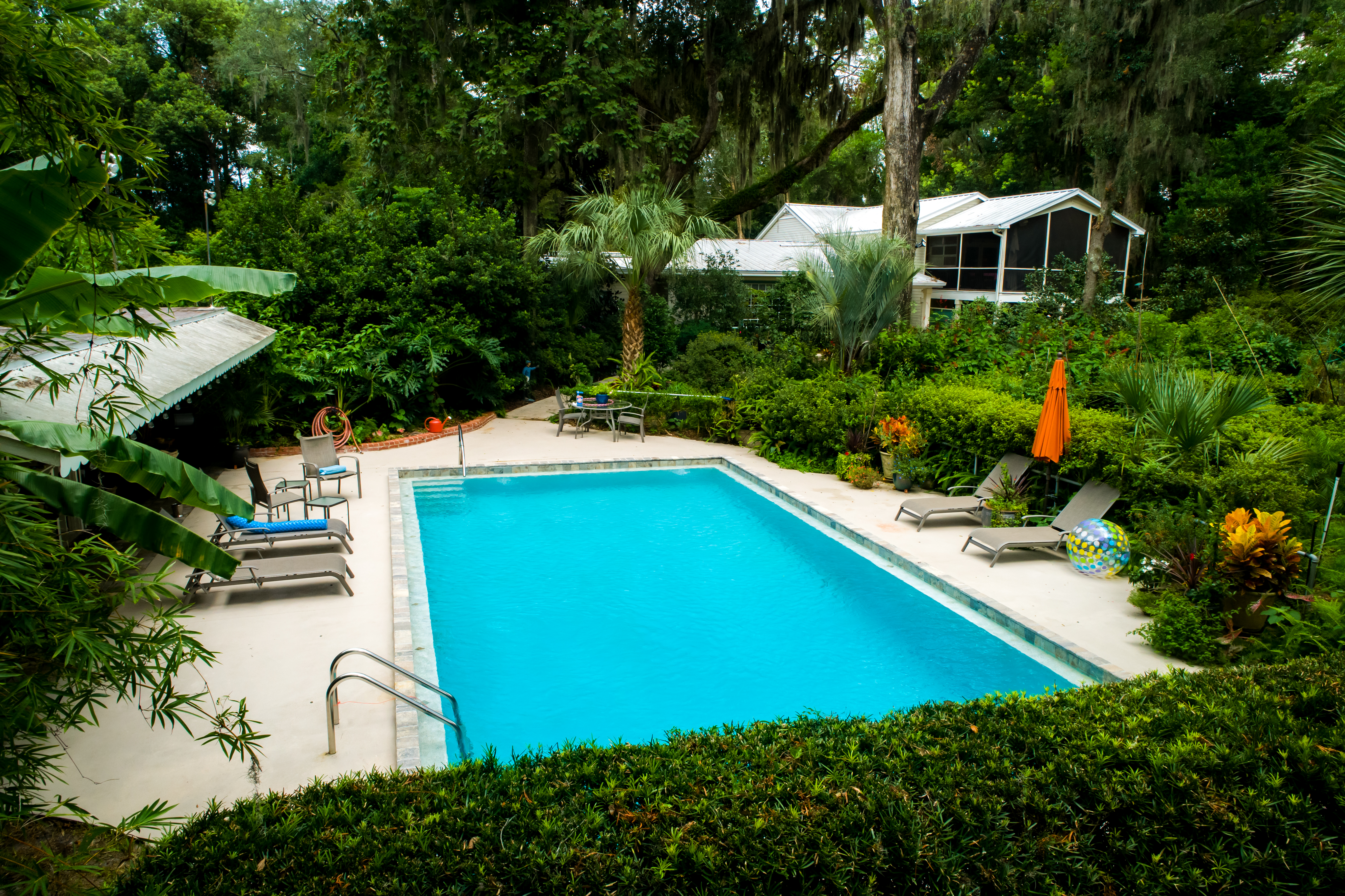
Edited Real Estate Photos
Roof Inspections
Orthorectified Imagery
Digital Surface Models
Digital Terrain Models
Textured 3D models
Classified Point Clouds
Custom Photos & Videos
Edited Real Estate Photos
Roof Inspections
Orthorectified Imagery
Digital Surface Models
Digital Terrain Models
Textured 3D models
Classified Point Clouds
Custom Photos & Videos
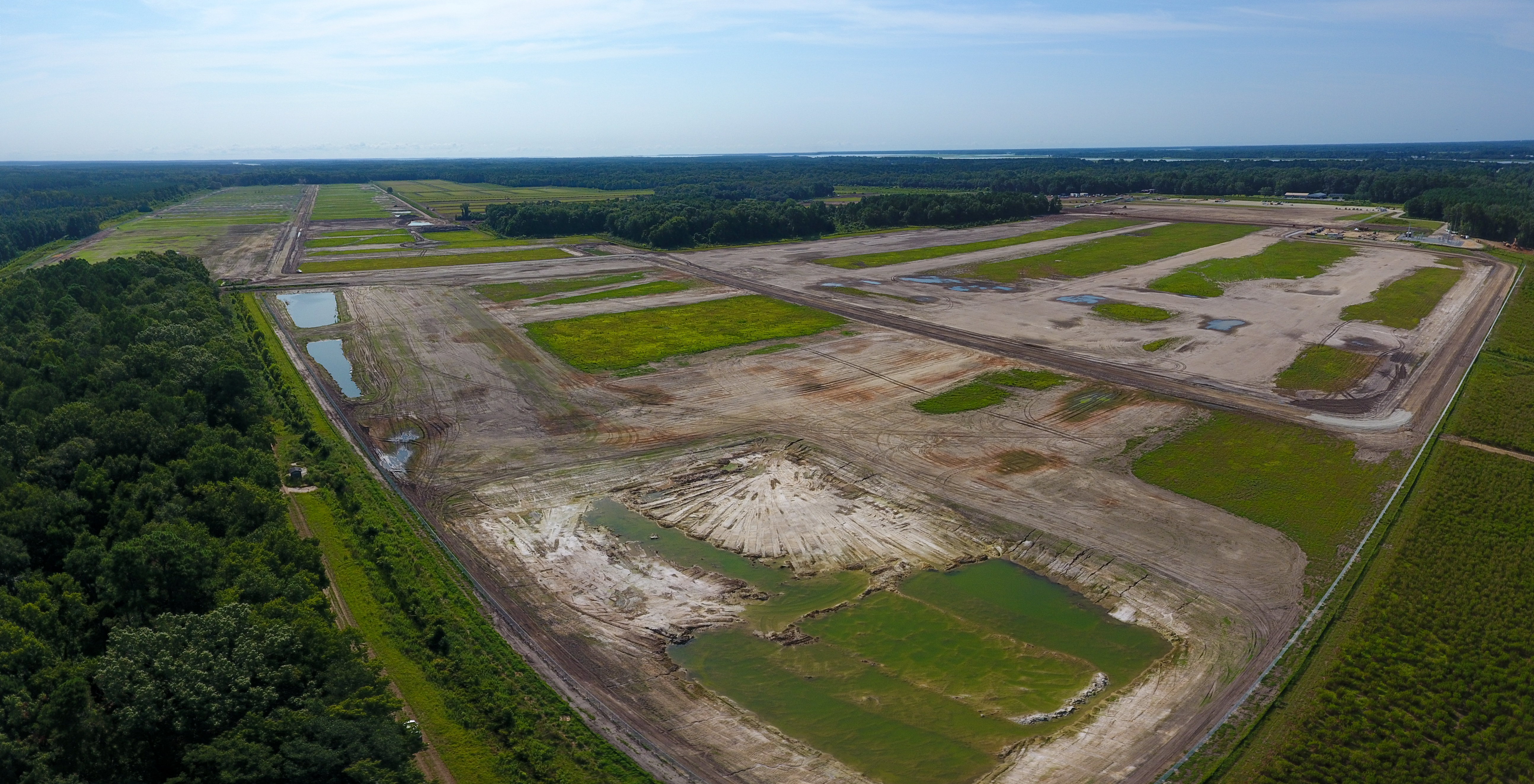
We perform reoccurring site inspections
Weekly/Monthly/Quarterly
